Cross-Country (International Version)

Day 21: 6/22/24
From: Fort Atkinson, WI
To: Chatham, Ontario, Canada
Distance: 472 miles

Another long drive today, but one that crosses an international border. Our passports have been waiting patiently for this day in the trip. (Too bad they don’t get a stamp…)

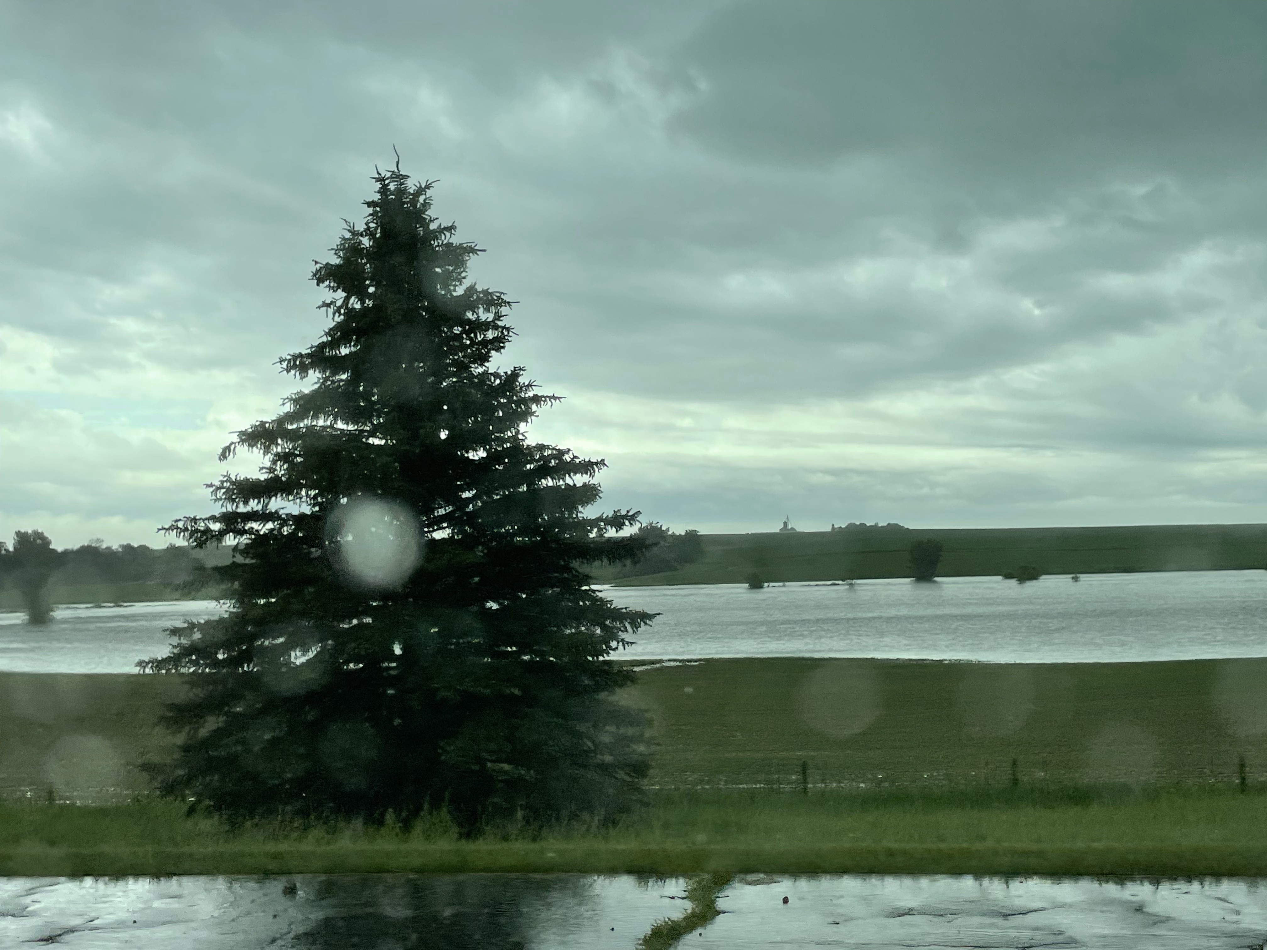
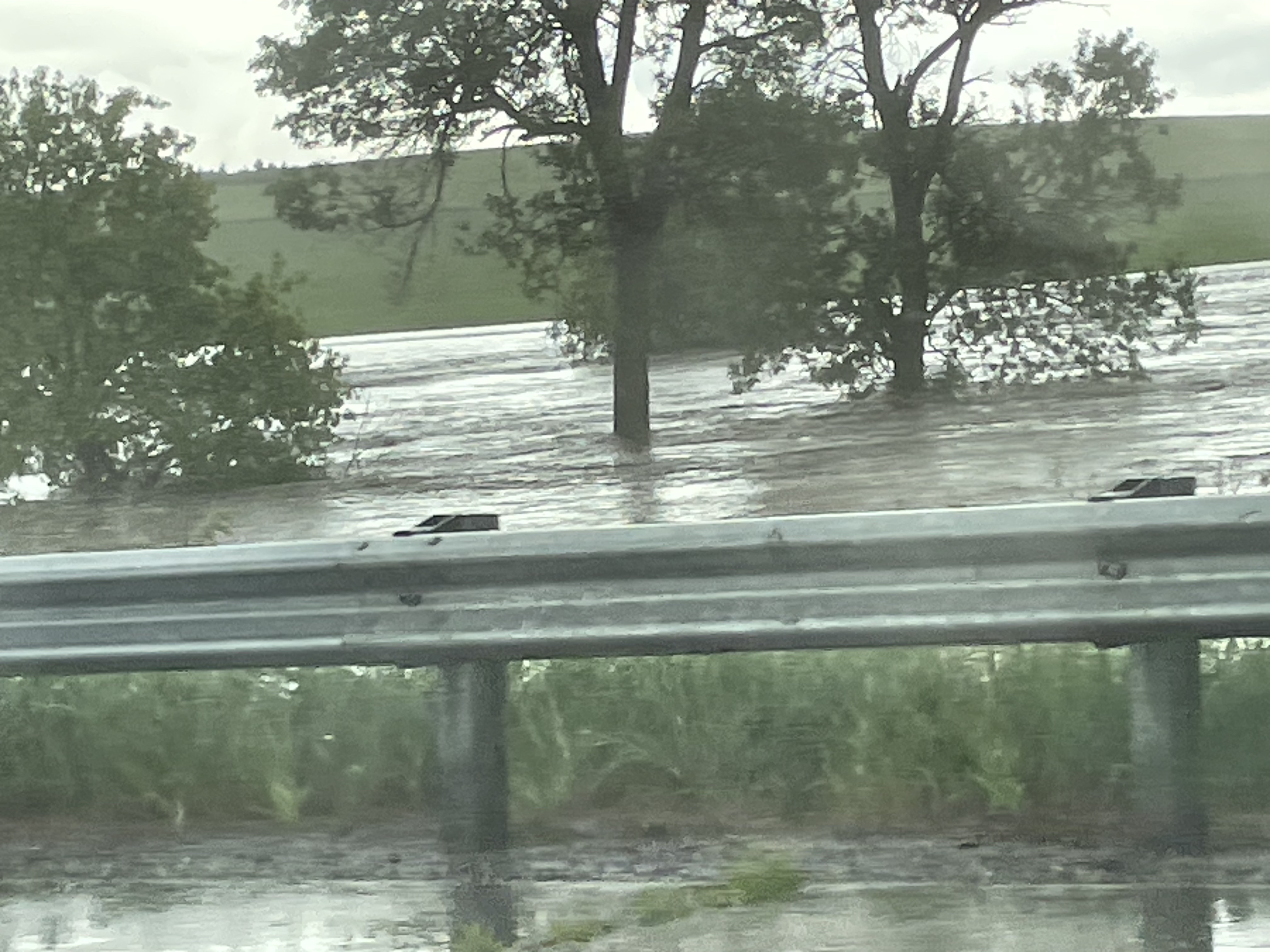
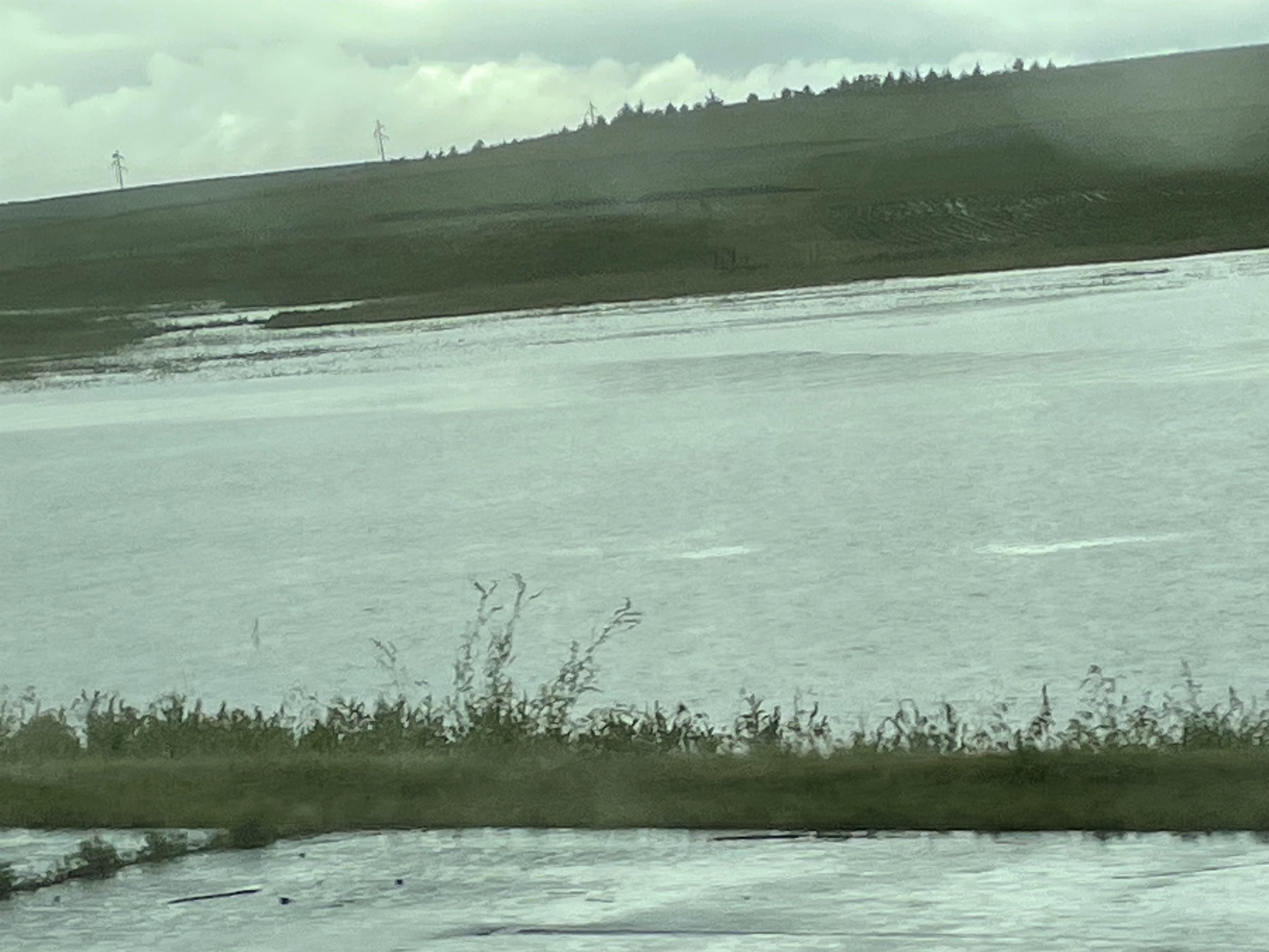
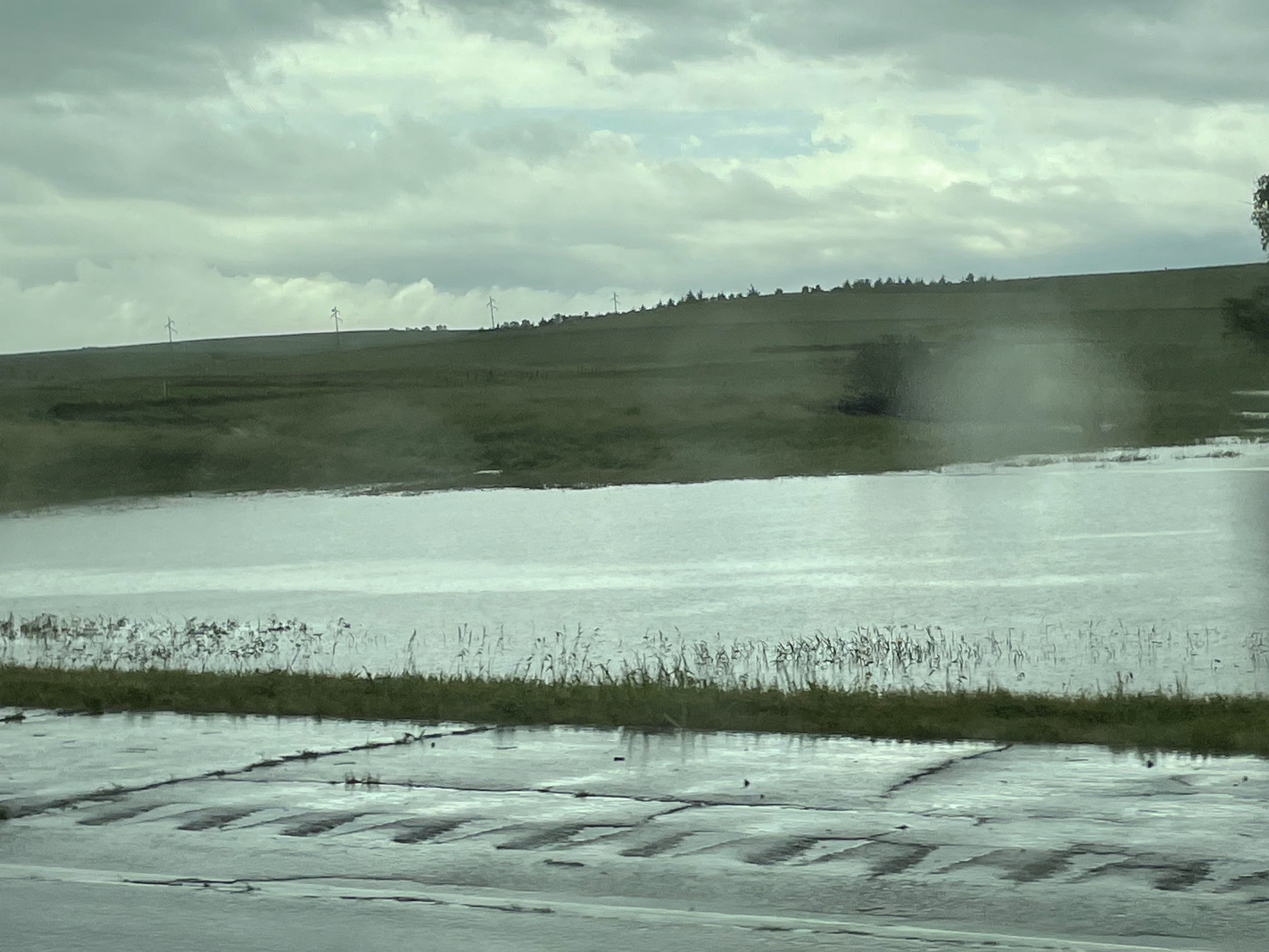
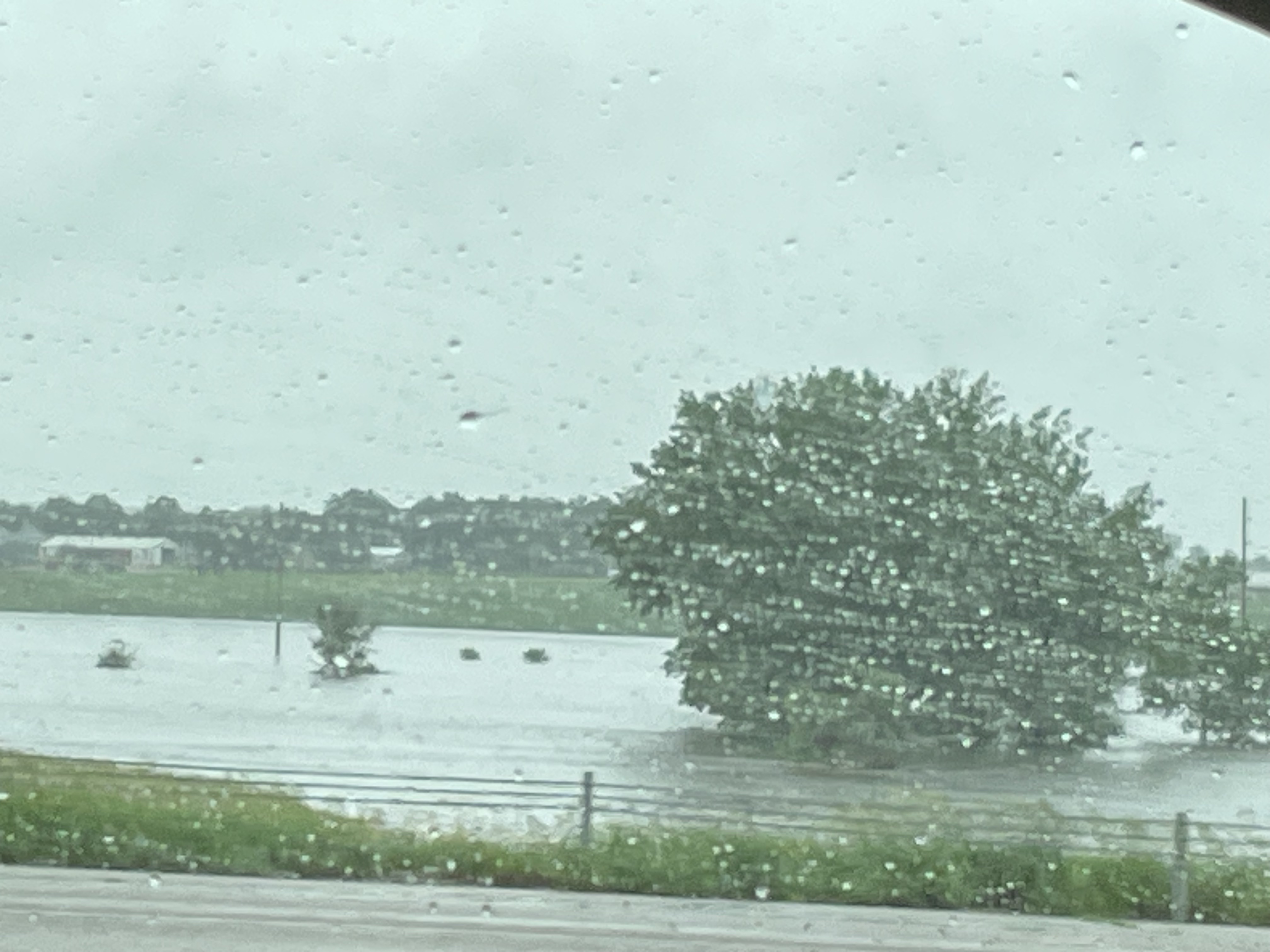
We wake shortly after 7 and are on the road by 8:30. The skies are mostly overcast today, but I think I see the sun way up there. I can’t be sure as it’s been several days since I’ve seen anything but gray clouds and pouring rain.

I drive the first 3 hours, plus an extra half hour in horrendous traffic south of Chicago that’s really due to construction in Indiana, but is backed up far into Illinois. Husband drives the next 5 hours, stopping only for lunch and to see the Joseph F Weber House in Detroit at Younger Child’s request because it was featured on the album cover of one of their favorite artists. It adds only 10 minutes to the drive, so we approve adding the stop to the itinerary.

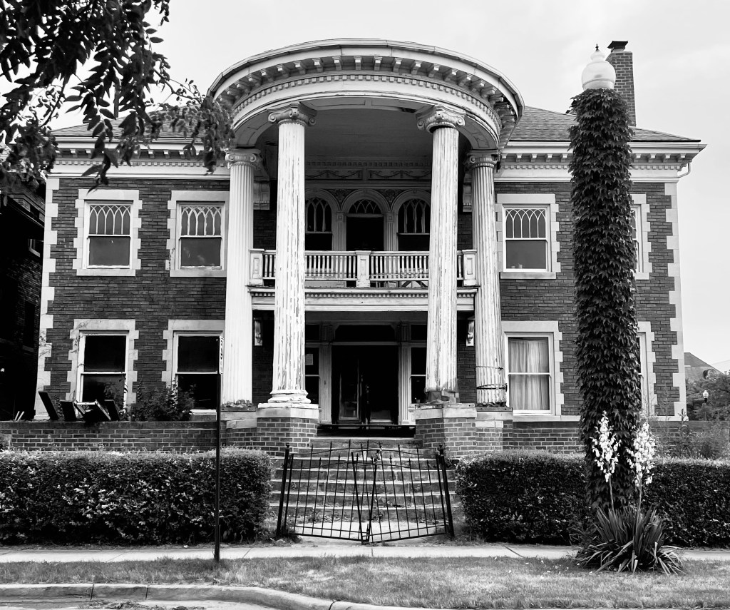
The GPS brings us into a not-so-great part of Detroit and it reminds me of all the bad things said about this city. I can see where it gets its reputation. (The buildings are run down, boarded up, and empty, and the homeless and drug addicts are present.) The neighborhood changes for the better as we approach our stop, but we still don’t stay long. Younger Child is thrilled to see the house, then we’re back on the highway again and making our way to Ontario. I had no idea the entrance to Canada here was a tunnel! I assumed we’d be crossing a bridge. The neat thing about the Detroit-Windsor Tunnel, though, is where you cross the border and there’s a giant flag on the way on either side of the border line. A maple leaf on one side and Stars and Stripes on the other.

The border crossing is much quicker than we’ve ever experienced at either of the other two places we’ve crossed, the border guard asking us what’s in our top carrier and probably wondering at us when we said sleeping bags and a very wet tent…

Forty-five minutes later, we’re at the hotel in Chatham, Ontario. It’s earlier than we expected so I text my local friend to see if she’d like to join us for dinner. Of all the local places, we choose Boston Pizza because of its array of gluten-free options. Friend is about a half hour away, so we make plans to meet at 8:15 and we pull in within 15 seconds of each other.

We chat and laugh with Friend while we eat and it’s so good to see her again 5 years after we last saw her. We look forward to spending tomorrow with her and her family again. The last time we saw them was a shared family vacation in Huntsville, Ontario in 2019. Our families got along well then and we look forward to spending more time with her whole family tomorrow.

We head back to the hotel at 10:30 and sleep is all I can think about. But Husband decides to do laundry first. I, on the other hand, pass out before he returns with folded clothes. I look forward to NOT setting an alarm in the morning.

Out of the Rain and into…More Rain

Day 20: 6/21/24
From: Garretson, SD (Palisades State Park)
To: Fort Atkinson, WI
Distance: 469 miles

I wake after 4 hours of sleep and see a message that came through on my phone an hour or so after we left the campground. (I should still be sleeping right now, I’m exhausted, but my body says no, apparently. Adrenaline memory?)

We made the right decision.

Now, we just need to go back this morning and find out if we still have a tent and clothes to collect or if it’s all been washed away… We eat breakfast at the hotel, take showers we weren’t expecting to have this morning, and get dressed in the clothes we came in. Then, it’s back to the campground to see if we still have a tent, sleeping bags, and clothing. I know I said we were done camping after this night and that I looked forward to a few days in a hotel, but I didn’t mean I wanted to give up all of our tenting supplies for the future.

By the light of day, we can see the creeks and rivers in the area are absolutely flooded. The rain is still coming down, though with less force.The roadways back into the campground are passable, including the bridge that was flooded last night. (Though it’s covered in debris.) We get back to our campsite and are shocked to find most of the runoff creek water has subsided off the site, though it’s still flowing swiftly and carrying a lot of water into Split Rock Creek. Most importantly, though? Our tent is still standing. And everything in it is (mostly) dry. The tent is actually fairly soaked through from all the rain, but we don’t think the floodwater ever came all the way to the tent. We pack up as quickly as possible since the current forecast calls for more heavy rain and even the possibility of isolated tornadoes. No thank you. We’re ready to leave.

The GPS takes us a strange route  back to I-90 (dirt roads that are called “streets” and “avenues” despite being dirt), which we can only assume is due to closed, flooded roadways. And we must be right. Because when we finally do make it back to I-90, we see more devastation. Every creek (and there are many) is flooded so far over its banks, it looks like a full-blown river. Have you ever seen a tractor trailer on its side in the middle of a river? As of today, we have. We pass several more accidents due to flooded roads. As a result, the westbound side of I-90 is shut down, but the eastbound side remains open. We are grateful for that at least. 

But the rain isn’t finished with us yet. Husband drives through alternating downpours and light rain for the next two hours. We finally drive out of it, only to drive back into it again an hour later when I’m driving. We are absolutely astounded that a storm this big can be dumping this much water for this long. And it continues for most of our way to Wisconsin. The skies are dark and dangerous and I miss the Pennsylvania mountains that break up this kind of weather so it never lasts so long. We marvel again and again that we’re still driving through this horrible weather.

We finally reach our hotel not far outside of Madison, WI and we are relieved to be off the road. (And the hotel has the sweetest antique tap bell I want to grab for an uncle who collects them… I refrain. Barely.) The last 24 hours have been quite the ordeal. We still have a few more days and one more destination before we head back to Pennsylvania, but I think it’s safe to say that as much as the last three weeks have been an incredible adventure, we’re looking forward to returning home.

We watch a little television, I catch up on the blog, and Husband and kids take off for the jacuzzi for a half hour before bed while I read. I don’t know where they all find the energy to hop in a hot tub at 10 pm, but this trip is about seeing and doing, so have at it, fam.

Wind, Clouds, and Highway Marketing

Day 18: 6/19/24
From: Sheridan, WY
To: Badlands National Park, SD (Cedar Pass Campground)
Distance: 322 miles

Up at 8:30, showers again whoo! 2 in 12 hours and I relish every drop of hot water. We mosey out of the hotel and head to Perkins for breakfast. Bad news. They don’t have gluten-free pancakes so Older Child goes hungry until we get to the car for GF snacks. They also seem kind of down today, ready to wrap up this trip and head home. We offer to send them on a plane, but they just kind of look at me like I’ve lost my mind… Guess we’ll keep driving.

Before we leave Perkins, Husband decides he absolutely must play the claw game. It’s 5 tries for the price of whatever one credit card swipe gives you and he ends up scoring two stuffed animals on his last two tries. He celebrates his win on the way out as I nod to another parent waiting to be seated and tell her this is actually my third child.

When we get on Rt 90, Siri tells us we have 312 miles to go on this road. Well. At least we have no twisty-turny-windy roads today. But the wind is vicious, with 40 mph crosswinds. Driving the speed limit at 80 mph, it’s a lot to fight against.

Along the way, we pass The Cowboy Church, which intrigues us enough to look up online. Husband thinks it’s a place where cowboys learn to cowboy. I think it’s an actual church. Turns out it’s a Wesleyan church, not a place to teach cowboying. I win.

We see a Cabela’s (which might be the tenth one we’ve seen or the twelfth or the fifteenth; we’ve lost track) and we stop so Husband can pick up sandals since he’s finally worn the old ones out beyond repair. Younger Child says he’s like a “new man” with his new shoes. He thanks the old pair for being good to him for six years, then tosses them in the trash outside the store.

About 45 miles out from the town of Wall, South Dakota, we start seeing signs on the side of the road for Wall Drug, where you can get a milk shake, root beer, coffee for 5 cents (free with a donut if you’re a veteran or a honeymooner), western wear, bison burgers, jewelry, gold, homemade fudge, an 80 ft brontosaurus, and pretty much anything else you can imagine. And the signs never stop. For the next 45 miles, there are signs every half mile or so. Wall Drug has been featured in Parade magazine and People magazine. It’s been mentioned in the New York Times.

At this point, we do exactly what they want us to do. We say, “Okay, I’ve got to check this place out.” So I look it up online and find out that Wall Drug sees upwards of 2 million tourists per year. Fine. We’ll go. But only because I need Ibuprofen for a headache and they do, at least, actually have a drug store. It’s a quaint old-style “town” and I could see how people could get sucked in for hours.

But I’m done with Wall Drug after just two of the many, many, many stores. I have to remind Younger Child that we cannot possibly look at every item here, but I think they might be trying anyway. So I sit on a bench out front, type up today’s experiences and wait for the family to be as done peopling as I am. (I waited until it looked empty to take a photo, but nothing about this place was empty. So many people!)

We get to the campground in the Badlands National Park around 5, set up our tent in the wind that’s still blowing, and make a quick dinner from dehydrated camp meals. Then we head for a drive through the park to see the rugged landscape, gawk at barn swallows that have claimed an entire shed as their nesting ground, and watch the sunset. The sky is mostly overcast and rain is predicted tonight, but there’s a sliver of cloudless sky on the horizon and it’s enough to make for a spectacular sunset. In fact, it creates a rainbow in the storm front moving in from behind where we stand and sets the grassland glowing. You’ll have to wait to see it, of course, as I’ll be spending the next few weeks processing the photos. But when I do, they’ll all be here on the website. Plus, let’s be real, I’m sure I’ll share them on social media.

Back at the campground in the dark, we get ready for bed. But first? A game of Oregon Trail. I “die” on the second card played— a whole 4% into the game. Younger Child “dies” on the next card. Husband declares this is stupid and we must start over. We do.

Guess who’s the first player to die? Husband “drowns” 20% into the game. We mourn his loss and I follow him to the grave a little after 80% into the game. As we play, we hear coyotes in the distance. It’s an incredible sound. Both kids make it to Oregon in the game, so we celebrate for them, call it a night, and head to bed. After tonight, we have only one more night in a tent. Then we’re into three nights of hotels before heading back home. I’ll miss camping!

Oregon – the Land of Many Climates

Day 14: 6/15/24
From: Crater Lake, OR
To: Boise, ID
Distance: 418 miles (+ some)

Um, it’s snowing. In mid-June. We’re out the door by 8 am and the cloud cover above us is thick. But snow? I guess it *is* 32 degrees, so it’s not unprecedented. But also not exactly expected either. We’re east-coasters. June means warmth.

After a small snafu where we leave the park in the wrong direction thanks to zero reception, we head north through the Umpqua National Forest and Fremont-Winema National Forest where we continue to be snowed on for the next hour. This is surreal. When we have reception again, the Maps app turns us around again and we’ve basically taken a very roundabout way to get out of the park, but we didn’t add any time to today’s drive. Thankfully. 7 hours is 7 hours.

One thing I notice about Oregon is the purple wildflowers along the roadside. Some are close to the ground, and some grow a foot high or more. But purple seems to be the color here. As opposed to the white, pink, and red flower bushes (roses?) growing along California roads.

The surroundings quickly change as we drive back into the desert — still Oregon, but no longer woodsy and pine-filled. Sun, scrub brush, and dry hills. But it’s not hot here! It may look a bit like Arizona, but it’s definitely not. Still only 54 degrees at 11 am.

In this strange terrain we see two antelope — the first of the trip! And they dart when they see us, leaping across the desert scrub, their fluffy white butts to us.

After some time, Husband grows bored of this drive and begins to make up his own song. 

“There’s nothing out here
Nothing at all
I can’t even
Make a call

I’m just driving
In my car
I can see
So damn far”

I take over driving for the last two hours or so and we get stuck behind an enormous line of traffic for miles upon miles because of an oversized load that refuses to pull off the highway to let the mile backup pass him… Does Oregon not believe in 4-lane highways? What’s with all the secondary highways? I guess not enough people live here to make it worth it? Still, it was maddening to drive 35-45 miles an hour in a 65 mph zone for a good 15-20 minutes. 

We arrive at our hotel in Boise at 5 pm, sad because we’re officially back on Mountain Time and out of Pacific, officially on our return trip. Husband and Older Child go out for dinner while Younger Child and I stay in and catch a nap. I tweaked something in my neck today (yay), so I’m trying to give it a little bit of a rest. And a rest usually ends up meaning sleep, so… Husband comes back at 9:30 with dinner for me and Younger Child — the problem with going for dinner late on a Saturday evening is anything brought back will be brought back even later.

I  check the weather forecast for the next few days and am a bit gutted to find it’s going to be very, very cold at night for the next few nights. And we’re in a tent. So while most of my friends back home are headed into a dangerous heat wave, I hope they all think of us, shivering in our tent over the next few days.

Do I place an order for blankets at a Target in Jackson, Wyoming so we can pick them up tomorrow on our way to our next campground? Yes, I do. Because modern problems call for modern solutions and the internet is our friend.

Three Deer, a Raccoon, and a Big, Fat Skunk

Day 13: 6/14/24
From: San Francisco, CA
To: Crater Lake, OR
Distance: 417 miles

I’m up at 6:45 and grab a quick shower before waking the rest of the family. We enjoy a hot breakfast and are on the road a little after 8, in time to catch rush hour traffic in the area. Congested, yes, but at least it moves. San Francisco is not LA.

We’re in for a long drive today and the next few as we head back east again. And back to windy mountain roads after the California highways. We travel the highway that wraps around Mt. Shasta and take in the snowy peaks growing ever closer. I’m thankful Husband’s cold is mostly gone, but he’s having issues equilibrating his ears due to lingering congestion, so the ups and downs on this leg of the journey are a bit of an annoyance for him. No one else came down with his cold, and for that, we celebrate.

We exit one highway into a town called Weed, and yes, they play it up here just as you would expect they would.  “I love Weed” souvenirs abound. We do not stop to buy any. Shortly after, we cross a lake called Grass Lake that looks far more like a meadow than a lake, which is where it got its name, I’m sure. (And not because it came right after Weed.)

We pass the Butte Valley National Grasslands with the Cascade Mountains as a backdrop and it’s all so breathtaking. The closer we get to Crater Lake National Park, the greener our surroundings. After the golden California hills, the deep pine woods of Oregon are refreshing. Husband stops to check out the gorge where Annie Creek runs…and finds a random dollar in the weeds. Who does this? Husband. Of course.

We reach Crater Lake and quickly notice the piles of snow all through the woods. It’s June 14th and there are large piles of snow in the woods. We check in and head to our adorable cabin at the Mazama Village where Husband immediately collapses facedown into a bed. I DID offer to help with the drive today. He declined. I absolve myself of his exhaustion.

After a short rest break, we’re back in the car and headed to the crater that makes this park so amazing. But the Rim Drive is closed after two stops. Why? There’s so much snowmelt and it freezes on the roads overnight. Yes, you read that correctly. There’s a lot of snow on top of this volcano.

There’s no shortage of views, though. The water at Crater Lake is an insane deep blue, and so calm, it looks almost inviting. But that’s a high dive you wouldn’t want to take now or ever. Even in late summer without recent snowmelt, the water here is cold, the average temperature reaching only 55-60 degrees at the surface.

Husband and Younger Child head up a steep hiking trail for a different view of the lake and the cinder cone inside of it. I stay put since I don’t want to challenge my hip today. I’d say Older Child stays to keep me company, but I think they’re just tired of hikes at this point and need a break to check social media.

Once again, I’m kind of glad for a change in plans. We were supposed to be camping in Farewell Bend campground, but pests and diseases meant they had to take down a lot of trees, so the campground has been closed until next year. I was notified all of two weeks before our trip, but was able to panic book the single remaining cabin at the Mazama Village. (Which is closer to the crater anyway – win!)

It’s supposed to be a low of 29 degrees tonight. It’s 53 now and breezy, but not bad in the sun as I type this from the crater’s rim. 29 degrees in a tent with sleeping bags only rated for 40 degrees? No. No thank you. So this minor inconvenience ended up being a major blessing. We’ll be comfy and cozy in our cabin tonight.

The nice part about arriving with plenty of time and already having seen the bit of the park we’re able to is that we have plenty of time for doing laundry, which is sorely needed at this point. So that’s our next stop. The kids stay in the cabin and we head for laundry. I am quite certain both kids are happy to be free of us for a couple of hours. We’ve been in each other’s faces nonstop for almost two weeks now.

Husband and I are celebrating our 21st anniversary today just the way I like to. (No, not doing laundry.) Low-key adventures like the one we’ve been on are all the gift I’ll ever need. This is the gift. This life we have together. And I mean, he DID find me a ring in Muir Woods yesterday, so…

After the laundry, we hang out in the cabin. The kids draw while I read. Husband is antsy and doesn’t like sitting still, so he decides to go to the park office to ask if we’re allowed to head to the crater rim for night photos. I’m shocked to hear it’s allowed and doesn’t require a special permit! So now we have to decide what ridiculous time we’re going to get up in order to take photos. Because this opportunity won’t come again. 

Sigh. We’re insane.

So we set the alarm for 2 am, layer up, and head out into the 34 degree weather to see what we can see. Which…isn’t much. Because the entire cabin village is shrouded in thick, white fog. Maybe it will be clearer at the rim?

Friends, it will not. We take the twenty minute ride to West Rim Drive to find out the fog is so thick, we’re now basically inside of clouds. There will be no Milky Way photos over Crater Lake. Twenty minutes back down and we jump back into pajamas and into bed again. 

Along the way, we happened to catch sight of three deer and a raccoon, so I guess it wasn’t totally pointless?

Nah. It really was.

Pivot

Day 12: 6/13/24
From: Sequoia National Park (Potwisha Campground)
To: Golden Gate National Recreation Area (Bicentennial Campground Holiday Inn Express)
Distance: 294 miles

I am up at 5. Again. The variety of birds in the California wilderness is astounding and I have the Merlin bird app open to pass an hour before I even think about waking the kids. The California Towhee and the Acorn Woodpecker are fighting to see who can be the better alarm clock, I think.

At least the night eventually cooled down. We kept the rain fly off the tent and the windows unzipped, so the tent is comfortably cool this morning. I have no idea how long it took to get that way, but at some point in the night, as the temp fell, we all found our way inside sleeping bags.

When I get out of the tent, I notice a small shiny spring in the middle of our campsite. Husband thinks it must have come off of something we own, but I prefer to think a raven left us a gift sometime during the night since we’ve been befriending them everywhere we go. I’m going to miss the ravens when we head home.

We leave the campsite by 7:30 and hit up the visitor center for stickers by 8. Along the way, we encounter a black-tailed deer and two social ravens. See? The ravens have become our friends! Down the last stretch of the General’s Highway and back onto the main highways that will take us northwest to San Francisco we go.

We cross the Golden Gate Bridge, shrouded in fog and get a glimpse of Alcatraz. It’s 2 pm by the time we arrive at the campsite and when we pull up, we all stare in dread for a moment. Sun? No, there’s no sun here. It’s foggy, misty, windy, and 54 degrees midday. And our campsite has a 1/4 mile walk-in down a steep hill. Older child takes a spill on the gravel and scrapes up an ankle, a thigh, and both palms. To add insult to injury, at the bottom of the hill is a clearing where there is only a port-a-potty for our bathroom needs. The kids revolt.

And I don’t blame them.

The view of the Golden Gate Bridge is spectacular, but even that’s not enough for me to want to stay. It’s time to pivot. I use that wonderful cell reception to find a hotel less than a mile away. Now both kids feel bad and say they could just suck it up, but guess what? *I* don’t want to be freezing in a tent all night, have no running water, and have to use a port-a-potty. We’ve done pit toilets a few times on this trip, but this is a new low. So yeah, I look forward to the hotel, too.

From there, we head over to Muir Woods, (Which requires a parking reservation — beware! We managed to book one before heading over.) and take in the Redwoods over the course of 3 miles of trails. We stick mostly to the flat boardwalk and paved trails, which is better for my joints. 

The trees are beautiful and so very different from the sequoia we saw yesterday. Walking amidst so many at one time is magical. And I love that the path is handicap accessible. It’s heartening to see. (In fact, I was impressed just a few days ago when we saw the National Park Service laying concrete on some paths at Bryce Canyon.) It’s encouraging to know that people with disabilities aren’t being left out of seeing and appreciating the natural wonders of our world. And…Husband finds a beautiful ring that fits my finger while looking at the giant clover for a four-leaf. No four-leaf, but I’ll take the ring, thanks!

After Muir, we check into our hotel and virtually collapse. We’ll need to figure out where to order food as we won’t be making any camp meals tonight, but the warmth of a room and the promise of a bed is simply heavenly and we’re soaking in the atmosphere. The wind outside is relentless and we can hear the incessant chiming of the flagpole. Still, no one will complain as we’re just thrilled to be inside. Unfortunately, my hip subluxed getting out of the car today, so that may be my body’s sign to slow my roll a bit. I wonder if it’s due to the extreme changes in temperature. It’s not every day you go from a high of 111 degrees to 53. And colder temps are coming.

Dinner from Floodwater, the restaurant directly next to the hotel, is divine. Pizza, burgers, pork rolls, they have a bit of everything you could want. We’d hoped to play a game of Oregon Trail cards, but everyone is too tired, so we end up asleep just after 9:30 — so tired that no one even cares about the snoring. A plus.

Small Miracles

Day 9: 6/10/24
From: Bryce Canyon, UT
To: Grand Canyon National Park, AZ
Distance: 158 miles

I wake at 5:30, very glad I took my sky photos last night because this morning is all cloud cover. The clouds that have rolled in end up preventing us from seeing sunrise over the hoodoos as we had hoped. We still take a 2 mile hike along the rim regardless, just taking in the scenery. On the way back to our campsite, we spot a raven who decides to have a conversation with us, clacking his beak, cawing, and cooing. Older child caws back. They go on like this for a few minutes in an unexpected interaction that put smiles on all of our faces.

Back to the tent for a nap before we leave Bryce. Later? A short trip to the Grand Canyon. (Short = 3 hours in the car) The naps only last about an hour before we get up and break down camp. And because the sun is now shining (where was it before?!) we take a walk to Sunrise Point again. But Husband wants to visit the lookout point we saw last time we were here, so we head to Sunset Point, where the kids enjoy the same view and become as entranced with the canyon as we are. It takes effort to pull them away and get on the road. How to leave behind those towering orange spires and the ravens that soar among them… it’s oh-so-difficult.

We stop to buy car stickers from a souvenir shop nearby and say hello to the saddled up horses waiting for riders to show up for their trail rides. It takes everything in me not to hop out of the car and pet them.

We make one more stop at a rock shop and an antique place in Orderville, UT before we get into the heavy driving for the day. And we still manage to reach the Grand Canyon by 1 pm because time change. Again. Arizona doesn’t do daylight savings time. Bison greet us shortly after we enter the park. And something we didn’t realize last time (because we’d never seen wild bison before) — these bison are MUCH smaller than the bison in Yellowstone. 

We get to our campsite and set up, but since the tent is in direct sun and will be for hours, we head out to the closest lookout point to take in the view, and get a family photo taken by a French-Canadian from Montreal who just finished hiking 400 miles from Phoenix to the Grand Canyon. My aching joints can’t even comprehend that this is possible.

Kids marvel at how wonderful most fellow campers are/have been over the last few days. Everyone leaves their stuff their campsites and trusts that no one will “mess with it.” In fact, along one hike, we end up talking with other hikers at the lookout point and everyone chimes in on their favorite national parks. The kids agree that the kind of person who camps the National Parks is generally a kindred spirit and we relish that we’ve had pleasant conversations with so many people we’ll never meet again, but who kind-of-sort-of make us like humanity again. 

After a stop by the local store to pick up lunch and taking much needed showers, we play a game of Oregon Trail, where 2/4 of us make it to the end this time. Then we head to the lookout points at the lodge. We opt to take the Angel Point trail, which is generally paved, but is also a very steep grade downward which is tough on my joints, so I bail about halfway to the end, sit on a rock, and take a selfie. Because why not?

The Grand Canyon is as it ever was — large and impressive, its distance almost incomprehensible. I’ve hiked 5 miles today on mostly dirt trails, something I haven’t done in several years, something I haven’t been *able* to do. I am elated. Exhausted, but elated. Having a dynamic disability makes it difficult to plan ahead. Sure, I planned to stop in all these different locations over the course of three weeks, but I had no idea whether or not I’d be able to full enjoy them the way I wanted to. Even now, I still have no idea what the next two weeks will bring. But I am grateful, so, so grateful right now that I have been able to get out and immerse myself in these oh-so-miraculous places that exist on this planet we call home. 5 miles may not be much for most people, but for me? It’s worth celebrating like it’s 500.

As it gets dark, our family heads back to camp. Sadly, Husband is coming down with a cold. At least I know it wasn’t the same one I had right before we left, so I can avoid feeling guilty. But I still feel bad. Maybe this is the real reason behind the terrible snoring?!? One can hope.

Even if it didn’t stop him from hiking Bryce Canyon this morning and the Grand Canyon this evening. Husband even ventures out with me before bed to take a few night sky photos (See? Even sick, he’s still my hero.) and then it’s time for bed. 

Fingers crossed he feels better in the morning! 

Canyons (x2)

Day 8: 6/9/24
From: Mesa Verde National Park, CO
To: Bryce Canyon, UT by way of Four Corners National Monument and Antelope Canyon, AZ
Distance: 382 miles

7 a.m. seems to be our regular wake up time. We break down camp and head to The Knife’s Edge Cafe down by the camp office to order breakfast we don’t have to prepare ourselves. Then we’re on the road by 9. Without any reception, we can’t map out our destination, so we head west and figure the phone’s GPS will eventually kick in.

It’s only an hour before we reach Four Corners to take cheesy family photos of the four of us standing in four different states at once. Then we do a little shopping from the Navajo sellers and as much as we’d like to buy lots from every vendor, we have to keep in mind the fact that we have no place to put it in the car.

Older Child wants to know what happens if you’re murdered in 4 states at once. Which authorities get called?

Back on the road to our second stop at Antelope Canyon. Arizona doesn’t do daylight savings time, but this time, I was prepared. We end up arriving two hours early for our tour of Upper Antelope Canyon, which gives us time to grab lunch, frozen yogurt for dessert, and gluten-free cereal for one kid for tomorrow morning.

Then, we’re off on bouncy vans through the desert to the mouth of the canyon with our tour guide Amar. Amar is a wealth of knowledge, funny, and personable, and the kids are as intrigued as the adults on this venture. I am surprised to see much has changed in the canyon since we were last here nine years ago. I shouldn’t be. The canyon floods 9-12 times a year on average from flash floods that occur after major storms. In fact, the entire canyon is about 3 ft deeper than it was a decade ago.

After the tour, we head back to Page, AZ to pick up a few Antelope Canyon stickers for the car and Older Child’s sketchbook. After 3,000+ miles, I *finally* get to take the wheel as Husband is still battling that same lingering headache. It’s 2 1/2 hours to Bryce Canyon and the driving isn’t complicated. The roads are wide open and by the time we’re an hour out from Bryce, there’s almost no one on the road. After all, who drives into a campground at 8 p.m.? Us. Apparently.

We’re set up by 8:30 and then take a quick walk to the rim of the canyon just in time to catch the sun on some of the desert features in the distance, though not on the hoodoos themselves. Dinner is mostly scavenged, but we do get to have a small fire while we eat, which is nice. The last time Husband and I went cross-country, we just didn’t have much time for fires.

We’re ready to collapse into sleeping bags by 10 p.m., but the stars are very tempting and I wonder if I can catch starlight or the Milky Way over the hoodoos. I’m not sure it’s possible, but it’s worth a try, so Husband and I trek to the rim to try. Kids opt to stay put, and I can’t really blame them. A week into our trip and everyone is a bit exhausted.

Husband and I don’t see the Milky Way (mostly obscured by cloud cover), but the view is spectacular nonetheless. Stars and clouds over the hoodoos make for some beautiful night sky photography.

I look forward to sharing the images when I get home and have time to process them! For now, settle for a few daytime shots from our day.

Family Time Across the Centuries

Day 7: 6/8/24
Mesa Verde National Park, CO
Distance: 30-ish miles?

We wake at 7 am and head to the cliff dwelling viewing areas before the heat and the crowds. It makes for a perfect morning. Our first stop is Cliff Palace. When we get to the viewing platform, our eyes are immediately drawn to a carved out dwelling across the canyon. “Is that it?” Husband asks, prepared to be underwhelmed. “It’s hardly anything,” one of the children chirp.

I turn to my left and before me is the incredible sight that we came for – Cliff Palace, a pueblo dwelling in the canyon walls, the very existence of which seems impossible. “That’s because you’re looking the wrong direction.” I say, and everyone turns to see what I’ve been staring at. It’s enough to take your breath away, this incredible feat. How were such places built? How were such things *possible?* These dwellings are 1000 years old and older. It’s incredible to think how they were made, and how many Indigenous families must have climbed up and down those cliffs with nothing but ladders and hand and footholds? How many families spent hours and days together in these shared rooms, bonding over stories and work and time together?

We take a stop to check out The House of Many Windows, which we think sounds both like a mystical place and a horror movie — depends on who you ask within our party. The “windows” are actually doors, and only 4 of the original 15 are able to be seen today. Our next stop is Balcony House, which requires a 1.2 mile walk to view from afar. It’s early enough that we see next to no one along the partially-shaded trail. This hike is *much* better than yesterday’s. The Balcony House parking lot is located directly above Balcony House, leading to a lot of confusion among many of the tourists now behind us on their way to view the dwellings, but last night’s ranger talk included instructions on the best way to view some of the sites, so we were prepared.

Then we swing by the museum to see some artifacts once found inside the dwellings and to pick up stickers for the roof box. We’ve been slowly adding as we go and loving the accumulating adventure. Our final stop is a quick view from directly behind the museum — Spruce Tree House. A raven nest sits directly above Spruce Tree House, and the couple are home and keeping their young warm.

We head back to camp for showers, laundry, and internet. A trip to the local town for groceries while the sun is high and hot, then back to the tent for working on photos and art and for maybe (definitely) catching a nap before getting dinner and watching a deer in the meadow beside us.

We pass the evening playing Toasted or Roasted (a game we picked up at the Grand Canyon 9 years ago) and the Oregon Trail card game. Spoiler: Only one of us (Older Child) made it to Oregon. Younger Child died from a rattlesnake bite about 10% of the way into the game. Husband died of dysentery about 40% of the way through. And I died of dysentery 92% of the way into the game.

We laughed and laughed. And we’re really, really glad not to be on the *actual* Oregon Trail. I like our Subaru, thank you very much. It’s been a good trip so far. We may not live in cliff dwellings like the Indigenous people a thousand years ago, but this trip is a treasure for our close-knit family.

Into the Fire

Day 6: 6/7/24
From: Santa Fe, NM
To: Mesa Verde National Park, CO by way of Bisti/De-Na-Zin Wilderness Area, NM
Distance: 318 miles

Up at 7, but Husband was up half the night with a migraine brought on by the IPA he had with his shrimp tacos last night. Maybe there’s some obscure rule that says we can’t *all* get good sleep at the same time. Because I slept like a baby. It was amazing.

We head to the breakfast buffet at the inn, which is delicious and loaded with an array of southwestern goodies. Pinto beans, mixed veggies, chili, plus your regular fare like eggs, biscuits and gravy, fresh fruit, cereal, pastries, and oatmeal. We eat in the beautiful courtyard where I’ve decided I’d like to set up permanent residence.

Then we’re on the road to Cabela’s for a seamless pickup of the air mat I ordered yesterday. Mat in hand, we head northward to the Bisti/De-Na-Zin Wilderness Area, the land changes drastically again. We drive through several reservations which are nothing more than rock, dirt, and scrub brush from the road. Breathtaking and lonesome.

Along the way, we pass someone in the desert who’s riding a bike loaded with supplies. “Where is he going?” I ask. “Where is he *coming* from???” He’s coming from the same whole lot of nowhere we just came from. I can’t imagine riding a bike on a desert highway. We soon figure out he’s heading towards the town of Cuba, NM just a few miles down the road.

By the time we’re 45 minutes from our destination, the surrounding land is low grass and scrub. Younger Child says it’s “Minecraft terrain.” Indeed. A half hour out and we start pointing out angry alien faces in rocks. 

We travel twelve miles down a dirt and gravel road to the Bisti/De-Na-Zin Wilderness Area and park, load up on sunscreen and water, and head out into the wilderness in hopes of seeing this:

What we didn’t plan on: Being there at the beginning of the hottest part of the day, there being NO maps at all of the trails, and the distance would would have to travel to see what we were hoping to see. 

So in the end, we didn’t see it. But we still walked 2 miles in blistering heat with no shade and got some cool pictures regardless, plus saw 75 million year old petrified wood. Still, everyone is surely wondering what Mom was thinking putting this one on our list, but when Mom planned this in January, it wasn’t a real feel temperature of 100 degrees.

We get back to the car, down more water, and blast the A/C for the next hour, stopping at lunchtime not to eat lunch, but to eat ice cream at a gas station. Because ice cream is the only food that even remotely sounds good right now. 3/4 of us have heat-related headaches. Older Child says Dad must have played his headache card last night.

We did get to see some horses in the wilderness area. Wild? Or Navajo owned? We don’t know. And without cell service, we can’t find out…

Older Child and I drank several bottles of water to try to get rid of the heat headaches…and found out later we both desperately had to visit a restroom but there’s nothing nearby. It was a fun hour.

We got to Morefield Campground in Mesa Verde National Park and were immediately greeted with stunning 360 degree views. There is no direction that isn’t incredible.

A short time later, we set up camp in a beautiful site with sun and shade and trees. A gust of wind tries to take our tent away before we have it staked down, but we hold on.

Minutes after we arrive, both kids are approached by a kid from another camp site who asks if they want to play tag with him. They help us finish setting up and then head over to play for a half hour before dinner. Older Child jokes they want to play snake tag, where you run around in the grass with no shoes on and see who gets bitten by a snake first. Yes, my kids are weird. They ended up not playing any kind of tag, snake or otherwise. Instead, they played Mancala and lost twice to an 11-year-old named Caleb.

A quick camp meal and some local exploring for Husband and kids, while I play with photos on my computer at the camp picnic table and receive a visit from a sweet black-tailed doe. At 9, we head to the amphitheater for a presentation by a park ranger about some of the animals in the park.

When we get back to our campsite, Mom makes another *very* bad decision. Older child is concerned about a noise in the grass and trees behind our tent so I take a flashlight behind to look and then fake freaking out at a bear. The kids *lose* it and it’s a mixture of laughter and tears for the next hour as adrenaline clears system. I am an awful mother. This is the kind of prank their dad would pull, not me… I may never get over feeling guilty over this one.

To try to ease the tension, I pull out my camera and show the kids the earth’s rotation by focusing on the North Star and keeping the shutter open to create star trails. They are intrigued and we agree we’ll try it again tomorrow night with a little more preparation beforehand.

For now, bed. An early wake up so we can head out to see the Pueblo dwellings along the mountain in the morning. Animals are also most active early in the morning, so who knows? If we’re lucky, maybe we’ll see a bear on the way…